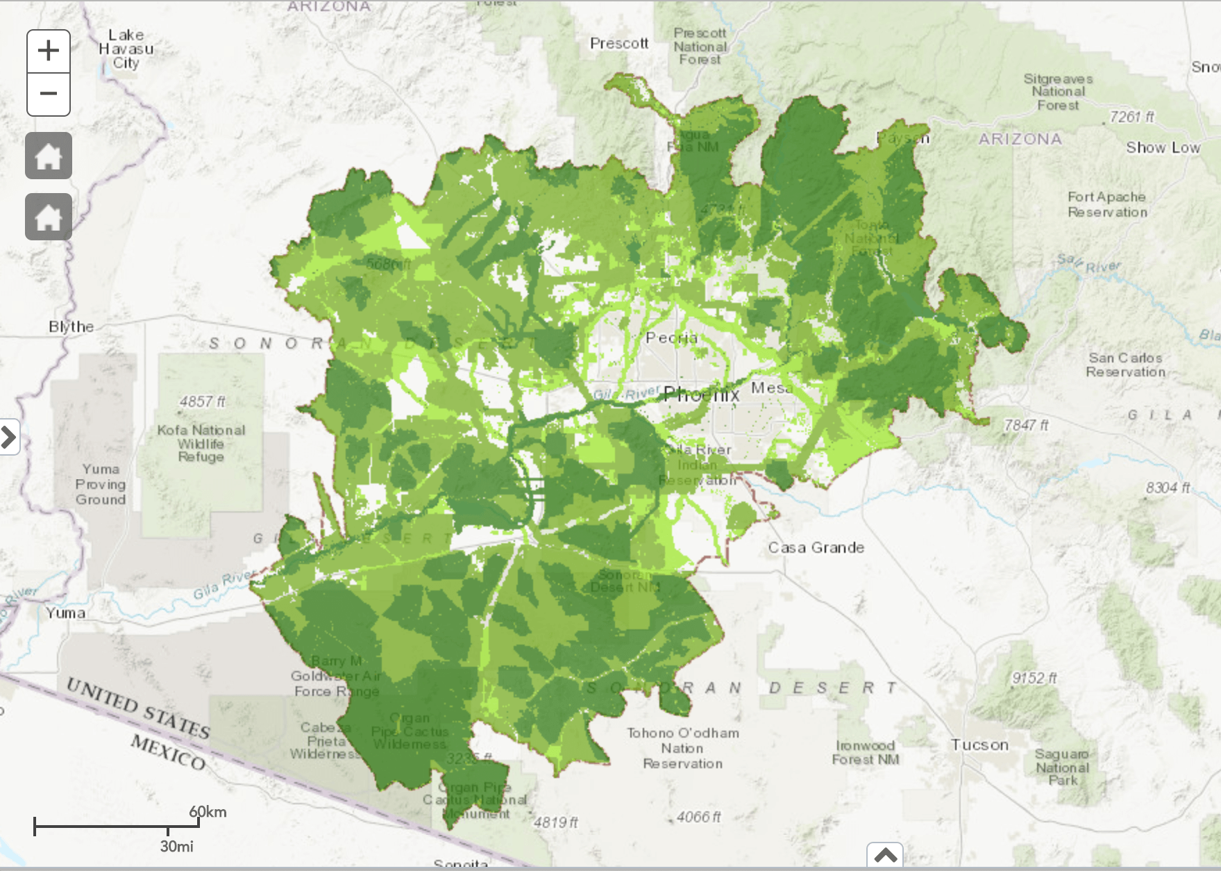
The CAZCA Greenprint
The Greenprint is a mapping tool designed collaboratively with the Trust for Public Land, the Nature Conservancy and Sonoran Institute. This natural infrastructure viewer can help bridge the information gap between sectors and facilitate the inclusion of natural resource data in decision-making.
While there are many kinds of data in the Greenprint, this tool offers particular insight into lands valuable for habitat connectivity, protecting water resources, and addressing both heat vulnerability and equitable access to open spaces.
Greenprint Support
Interested in learning more about this tool?
